Character Areas
Abingdon is a complex town that has grown and developed over many years. This has resulted in a series of connected neighbourhoods, each with their own character, history, and identity.
One of the roles of the neighbourhood plan will be to maintain and enhance these different neighbourhood characters to help preserve a sense of local distinctiveness.
Look at the maps, diagrams and photographs and send us a postcard from the area where you live.
All Areas

Abbey Meadow
A variety of residential styles including houses and flats can be found in the western part of this area. There are a variety of back garden sizes. Historic open space spans the southern half of the area with the River Thames found to the south. To the north-east lies two employment sites and the leisure centre.


Albert Park
At the heart of this area lies Albert Park, a beautiful green space. The west of the area is characterised by larger houses with Victorian architecture set at lower density with some community and commercial buildings. The east of the area comprises open space and playing fields associated with Abingdon School, and residential and commercial uses in varying building styles at higher density. The Albert Park area is proposed to be protected by a Conservation Area designation with its designation currently pending.

Appleford
The area is primarily characterised by cul-de-sac style development featuring a combination of housing types at higher densities on smaller plots with smaller back gardens. Oxford Road features some larger houses set at lower density on larger plots, with larger back gardens. A few small communal areas of green space are scattered throughout the area.

Audlett Drive
The area is primarily characterised by cul-de-sac development featuring a combination of housing types. These typically lie on smaller plots with smaller back gardens. Some larger houses sit on larger plots at lower density to the north of the area. The area grew from the west in the 1970s when the western section of the site was developed, before expanding eastwards along Audlett Drive in the 1980s with the newest development lying furthest east. A nature reserve runs north to south through the area featuring a small stream and public footpath.
Boxhill
The area is set around the central Boxhill Park and Boxhill Woods. Semi-detached houses lie set back from the streets at lower densities to the west, set around areas of communal green space and St Nicholas Primary School. To the east lie long, connecting streets lined with higher density housing which are primarily semi-detached with smaller back gardens. We understand that the north western section of the area was developed in the 1950s.

Caldecott
The area is bordered by the River Thames to the east and River Ock to the north. The north of the area comprises residential development set around the recreation ground and Caldecott Primary School. To the south of the area lies semi-detached and terraced housing on through streets and cul-de-sacs alongside a few businesses and community uses. The majority of the central section of the area lying between Caldecott Road and Saxton Road was developed in the 1950s.

Colwell
The western part of this area comprises an employment site with commercial and community uses lying to the south. The east of the area is set around a cemetery, with a graveyard, school and combination of types and densities of housing lying to its north. To the south of the cemetery lies primarily terraced housing and a police station.

Dunmore
The south-western part of this area is set around two schools, a college, and a range of businesses. Some higher density housing lies to the north and east of these. To the east of the area lies a variety of housing types set at lower density with larger back gardens, and a few communal open spaces. A few local shops lie to the south east.
Larkhill
The Larkhill Stream bisects the centre of this area from east to west. Two schools lie to the south with a combination of housing types and densities set between them. To the east lies a small employment site featuring a few local amenities. A combination of cul-de-sacs and through streets lie to the north with a range of housing types and densities. A strip of green space borders the north-eastern edge of the area.
Long Furlong
A small stream bisects the neighbourhood from north to south. The area is primarily characterised by cul-de-sac development featuring higher density detached houses on smaller plots with smaller back gardens. To the south lie a few community uses including a school, nursery and community centre alongside a medical centre. The south-western part of the area comprises public open space with footpaths running through. We understand that the north-western section of the area was developed in the 1980s.
Northcourt
The area comprises winding roads and cul-de-sacs home to a range of styles of housing which is primarily detached at a relatively lower density. These are surrounded by open space which makes up much of the area. A few local services lie to the north along Northcourt Road including a café and public house, community centre and church. The area is also home to Abingdon Football Club which lies to the northeast. The Northcourt area is protected by a Conservation Area designation.
Ock Street
The south of the neighbourhood is characterised by the River Ock and public footpaths running west to east through the area. The northern part of the area is primarily characterised by cul-de-sac development featuring higher density houses and flats with smaller back gardens. Some larger flatted development fronts Ock Street, a key route into the town centre, with amenities and various uses including Fire Station scattered throughout.
Peachcroft
The northern part of the area is primarily characterised by residential cul-de-sac developments with smaller back gardens. A shopping centre and some community uses including a school lie to the west. To the south lies primarily slightly larger semi-detached housing on a variety of plot sizes but at slightly lower densities. Some communal green spaces and public footpaths are scattered throughout the area and a patch of farmland lies to the very east. We understand that the northern section of the area was developed in the 1970s.
Radley Road
The eastern part of the area is set around a nature reserve and stream which runs through north to south. The area primarily comprises residential development. To the north, this is characterised by semi-detached dwellings on larger plots with larger back gardens. A range of higher density housing lies to the south, situated nearby to four schools on Radley Road and a small employment park on the area’s eastern edge.
South & Marina
The southern part of the area is characterised by fields featuring a few rural businesses and public open space with footpaths running through. The northern part of the area comprises primarily higher density housing with smaller back gardens, set within cul-de-sacs and through streets. The River Thames spans the area’s eastern edge, leading into the marina to the south-east which is surrounded by a range of newer higher density flats and houses.
Tithe Farm
A range of services and businesses span the northern edge of the area. South of this lies public open space which spans most of the area with the River Ock and public footpaths running through from west to east. This open space envelopes an area of varying types of higher density housing featuring a few public open spaces, with a small business park lying to the north-east. The southern section of the area, south of Mill Road, was developed in the 1960s.
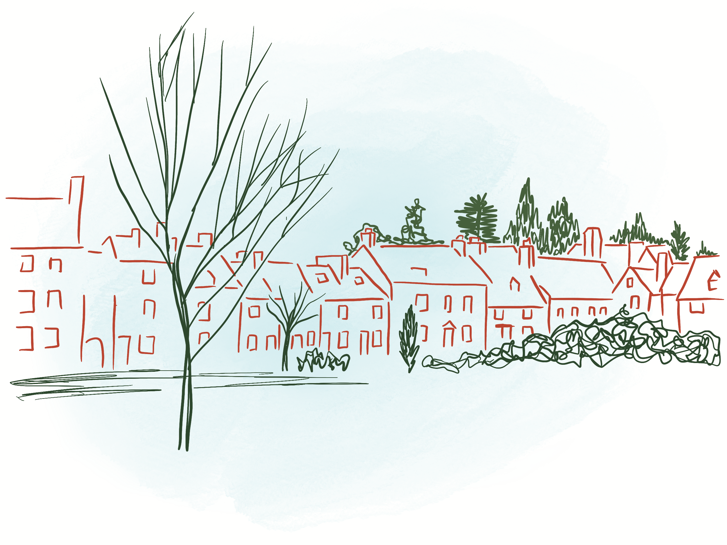
Town Centre
The Town Centre is characterised by a dense, complex, rich and varied range of commercial, community and residential uses. The area is of a higher density with an irregular street structure home to a range of styles and types of building. The River Thames crosses the southern edge of the area.


Send a postcard from…
Tell us which area featured above you would like to send a postcard from to a friend. What makes this area special?